
Surveying and Engineering

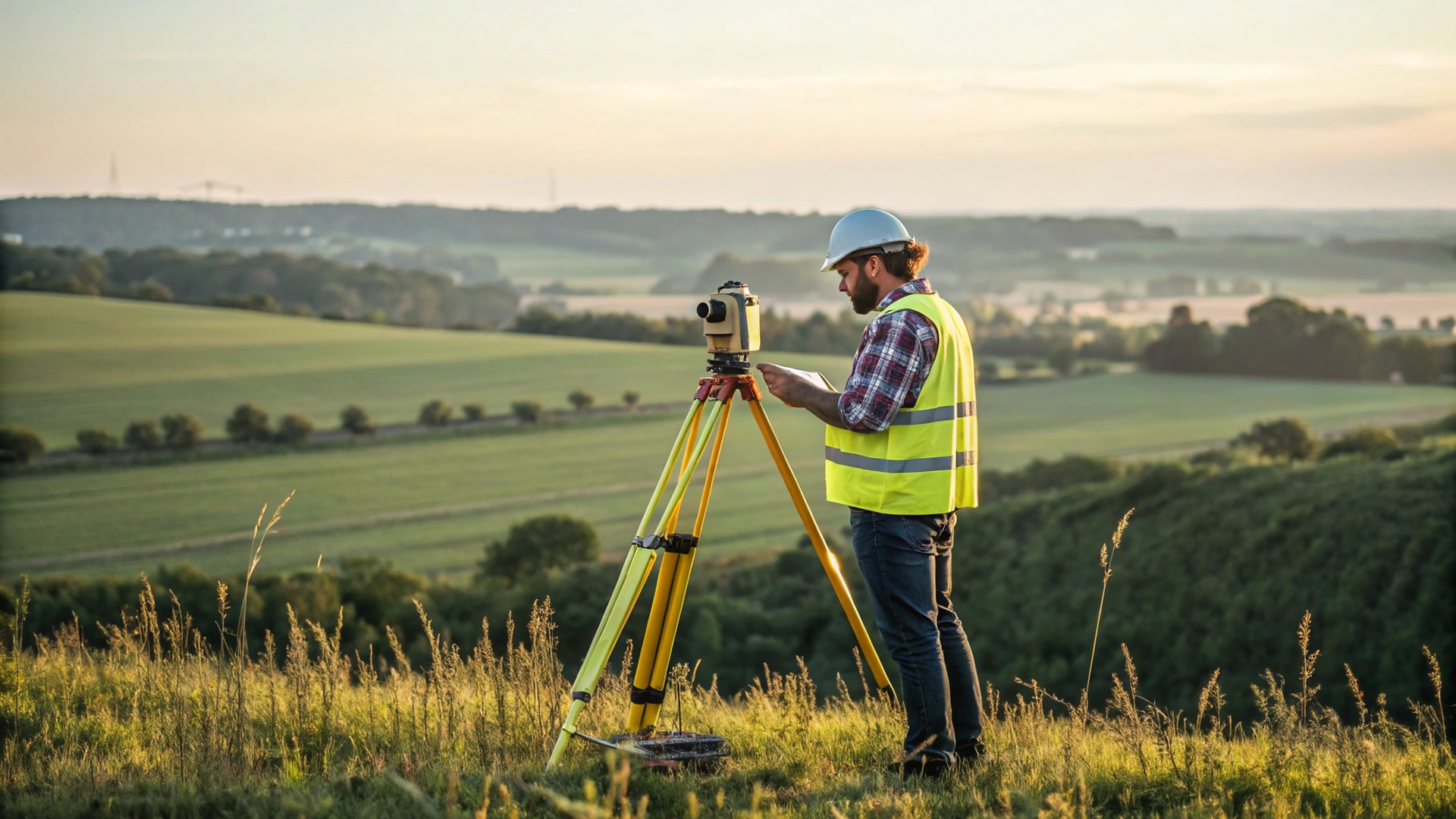
TOTAL STATION
Precision Angle & Distance Measurement
Robotic total stations deliver millimeter-accurate positioning for construction layouts and topographic surveys. With servo-driven auto-tracking, a single operator can complete complex tasks 50% faster.
Mission-Critical Precision for Built Environments
From foundation layout to infrastructure monitoring, our integrated hardware-software solutions deliver millimeter truth across the project lifecycle. Trusted for bridge deformation analysis, rail alignment, and high-rise construction where errors cost more than time.
GNSS
Centimeter-Accurate Global Navigation
Real-Time Kinematic receivers provide instant satellite positioning with 1cm+1ppm accuracy. Ideal for land surveying, drone mapping, and machine control - even in challenging urban environments.

SOFTWARE
The Digital Field-to-Finish Ecosystem
Transform raw data into actionable insights with our unified software suite. From field collection to BIM integration, streamline workflows across all devices and platforms.


3D SOLUTIONS
Redefine Reality in Points and Polygons
Capture, process, and leverage spatial intelligence with end-to-end 3D workflows. Whether scanning heritage sites with LiDAR or performing BIM clash detection with SLAM, transform complex environments into actionable digital twins.


DIGITAL LEVELS
Sub-Millimeter Precision Elevation Control
Automated digital reading of barcode staffs eliminates human error, delivering consistent, reliable height measurements for construction leveling and deformation monitoring.