top of page

Search
All Posts


Guardians of Century-Old Geological Heritage: Upgrade of Automated Monitoring Solutions for Ancient Salt Mines in Europe
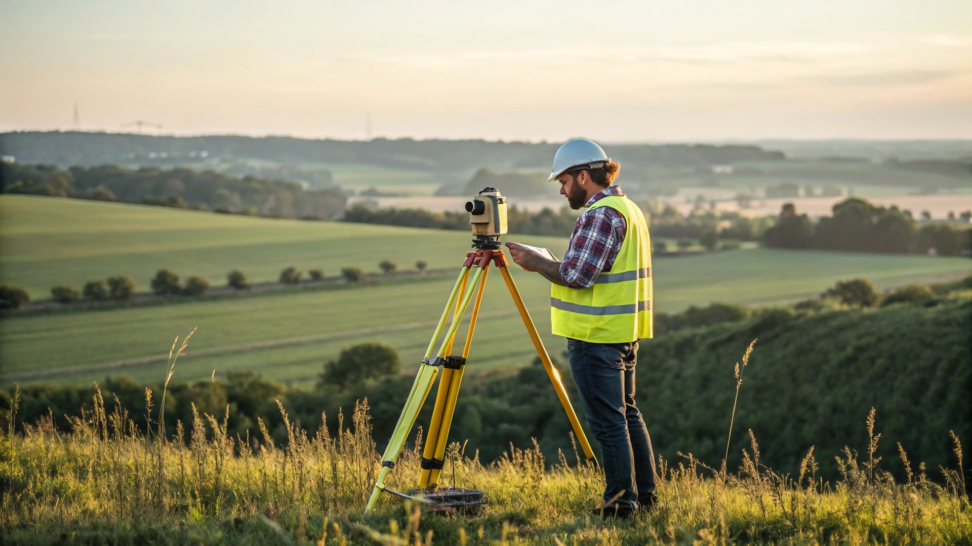
Executive Summary Faced with highly unstable geological conditions and imminent ecological risks, a century-old salt mine in Eastern Europe is in urgent need of a high-precision and reliable monitoring system. Recently, our team of monitoring engineers traveled to the site and, together with the local distributor, carried out the installation and commissioning of an automated monitoring system centered on robotic total stations for the customer. The entire system is now offic
Feb 34 min read


Discover How SADNING ME Plus Mixed Solution Makes Your Work Lighter and Smarter
Discover how SANDING ME Plus Mixed Solution makes your work lighter and smarter. Struggling with GNSS in obstructed areas?Signals weak, workflow interrupted, accuracy not as expected? With SANDING SLAM RTK ME Plus' Mixed Sulution, it's just a few clicks away to keep measuring smoothly ---even inside buildings or under heavy obstructions. LiDAR IMU ensure continuous positioning at 2 cm accuracy, without the hassle of total stations or measuring tapes. Measurement and stake-o
Dec 11, 20251 min read


Join SANDING at INTERGEO 2025, Frankfurt!
We're thrilled to unveil our AI-Powered surveying solutions at Europe's leading geospatial event. Discover the future of precision,...
Sep 10, 20251 min read


SANDING LATAM Partner Summit 2025
From Aug. 11-13, SANDING LATAM Partner Summit was successfully held in Costa Rica. With the theme “Connecting, Inspiring, Winning...
Sep 9, 20251 min read


SANDING PARNTER IN ATACAMA UNIVERSIRY
TECHNOLOGY AND SCIENCE SHALL WORK TOGETHER!!! That's a silent heart sound in most of enterprise and universities. And they get a mutual...
May 18, 20252 min read


A new way of mobile measurement – Handheld SLAM LiDAR
It is time to GoSLAM! GoSLAM mobile measurement system adopts SLAM technology (Simultaneous localization and Mapping), that is, real-time positioning and mapping technology does not depend on GNSS positioning such as GPS. In the movement of unknown environment such as indoor and outdoor space, self-positioning and incremental 3D mapping are carried out. It is committed to providing customers with solutions for mobile 3D laser measurement systems with a better user experienc
May 18, 20251 min read


SANDING USV SU30-Turning your imagination upside down
SU30 Unmanned Surface Vehicle is a new generation of SANDING water professional intelligent measurement equipment. It mainly used in rivers, lakes, reservoirs and other river basins. Achieves a variety of modes of measurement operations. The section measurement navigation is accurate, with the starting point hovering function and accurate measurement data, it can maximize the avoidance of personnel safety hazards and improve work efficiency. Hysurvey software is specially des
May 12, 20251 min read


SANDING PARNTER IN CHILE KOLLNER LAB IS INVITED TO SIRGAS SYMPOSIUM
The new SIRGAS Symposium is held in the city of Santiago de Chile during 7-9th November 2022. Thanks to the invitation, SANDING partner in Chile KOLLNER LABRANA & CIA. LTDA is exhibiting in this event. It’s great honor that SANDING can attend in this even. Meanwhile, this event is also in celebration of 100 anniversary of IGM de Chile. As we know, SIRGAS is a well-known organization in Latam countries, offering Geodetic Reference System for the Americas since 1993, foun
May 12, 20252 min read


New UI, New CHANGE
New UI will be updated on our GNSS Data Processing Software. A series of new functions will come true too. For details, you can consult...
May 12, 20251 min read


T14: Work The Way You Want
This week we continue to test our latest product T14 GNSS, make it be prepared to be introduced to global users. We use T14 to collect...
May 12, 20251 min read
bottom of page