1.png)
Utilizing Rebuild 3D's Mining Module to Generate Mesh Models and Achieve Six Key Applications
In mine surveying, relying solely on raw 3D point cloud data without a Mesh makes it impossible to perform high-precision volume calculations, generate contours, automatically detect crest and toe lines, or conduct slope safety thermal analysis.
Therefore, converting 3D point cloud data into a 3D Mesh (3D Triangular Mesh / Terrain Model) is a core step in mining mapping and engineering analysis.
This functionality serves the following 6 critical practical uses:
1. Generating Digital Elevation Models (DEM/DTM) and Real 3D Digital Twin Foundations
Practical Value: During the Mesh generation process, Rebuild 3D provides hole-filling and debris-filtering algorithms tailored for mining terrain (e.g., automatically filtering out dynamic equipment such as mining trucks, excavators, and loaders).
The resulting clean Mesh model serves as the foundation for exporting DEM digital elevation models, as well as the core 3D physical base for autonomous haulage route planning, 3D excavation progress presentations, and digital twin mine construction.
2. Automatically Generating High-Precision Contours / Isolines
Practical Value: It is difficult to generate smooth engineering contour lines directly from non-enclosed point clouds. Rebuild 3D uses the constructed terrain Mesh model to automatically slice and generate closed, smooth terrain contour lines at set contour intervals (e.g., every 0.5 m or 1 m), which are used to draw 2D excavation plans that comply with national mine mapping standards.
3. Rapid Extraction of Profiles/Cross-Sections and Tunnel Profiles
Practical Value: Whether extracting bench profiles in open-pit mines or tunnel cross-sections in underground mines/adits, extracting profiles based on a Mesh model yields cleaner, noise-free results compared to directly slicing point clouds.
Deliverables: The software can generate continuous 2D cross-sectional areas and over/under-excavation analysis diagrams with a single click along a specified axis based on the Mesh, allowing direct export to DWG drawings.
4. Extremely Precise Cut & Fill Earthwork and Stockpile Volume Calculation
Calculation Principle: Because point clouds are sparse, closed volumes cannot be calculated directly. The mining module of Rebuild 3D converts the current-phase mine point cloud into a terrain Mesh (Topographic Mesh) and performs mesh overlay and spatial cutting against a design excavation surface Mesh or a previous-phase survey Mesh (Mesh-to-Mesh Comparison).
Practical Value: It can calculate the cut, fill, and net volume of open-pit mined-out areas or ore stockpiles with millisecond-level speed and extremely high precision, providing reliable data for monthly production settlements, stockpile inventory Auditing, and earthwork engineering billing.
5. Automatic Extraction of Mine "Bench Crest and Toe Lines"
Industry Pain Point: In open-pit mine bench surveying, manually tracing crest lines and toe lines in a 3D point cloud is not only extremely tedious but also prone to misjudgment and omissions.
Role of the Mesh: Based on the feature curvature of the constructed terrain Mesh, the mining module of Rebuild 3D uses algorithms to automatically identify and extract the crest and toe lines of mine benches. These can be directly exported as CAD vector drawings, significantly shortening the mine CAD drafting cycle.
6. Mine Slope Stability and Geological Inclination Analysis
Practical Value: The Mesh model assigns explicit normal vectors and slope properties to each triangular face.
Feature Application: In Rebuild 3D, "Inclination Color-Mapping Analysis (Inclination from Plane)" can be performed based on the Mesh. The software uses heatmap color coding to highlight slope steepness based on the angle between the Mesh surface and a specified reference plane (such as a horizontal or fault plane), helping mine geological engineers assess landslide risks on tall slopes, steep-slope safety distances, and rock fault strike directions.
Summary
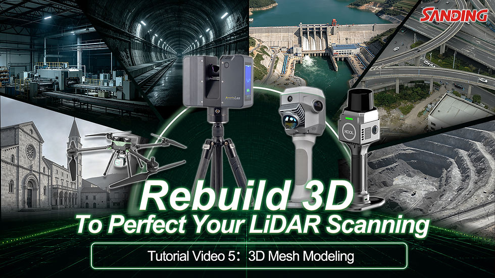
The MINING Add-on, built into the Rebuild3D plugin within AcuteLAS Studio 2026, provides a powerful yet easy-to-use working tool to mine surveyors. Please watch the video below for specific operations:



Comments