Enjoy the Power of Automation
GNSS SYSTEM
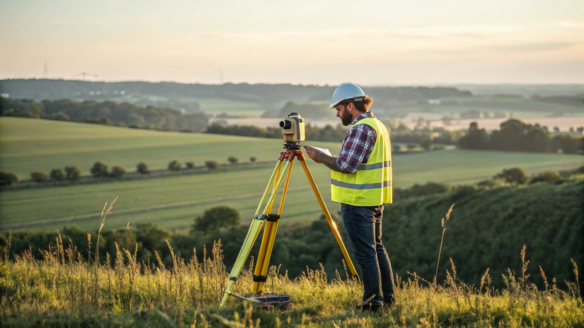
T 15
T15 combines advanced technologies for precise measurement: its green laser beam works effectively within 30m, paired with video-shoot target aiming for easy operation. It achieves 2cm accuracy in remote dot measurement, while also supporting visualization, 3D modeling, and photogrammetry, thus delivering an efficient, precise, and intuitive solution for diverse surveying scenarios.

FEATURES

Laser Stakeout
Level Up Your Efficiency
Laser stakeout ensures precise, uninterrupted work even when tall obstructions block satellite signals near target points. Skip hauling instruments—stake out accurately from meters away to save time and boost efficiency.
Break free from distance and obstacle limits. Work smarter, faster, smoother.
Dual Camera AR Stakeout:
Intuitive, Precise, Effortless
T15 enables you to utilize both front and bottom cameras for staking out points, lines, and curves with ease. The AR guideline on the controller app will guide you in the correct direction from tens of meters away from the target.
Experience surveying that is intuitive, precise, and seamless.


Photogrammetry Measurement in Real-Time
Working Easily by Video Shooting
T15's photogrammetry enables non-contact measurement, processing photos/videos in real time and obtain hundreds of point coordinates within minutes. Enjoy efficient fieldwork with fewer blind spots and enhanced safety.
ARCSURV Onboard
ARCSURV app now features Laser measurement and Visual Positioning, Measure & Draw, CAD Draw, CAD Stakeout, Live-View Stakeout, Total Station Module... with a series of new functions.
